shrine to the prophet of americana

#geography (151 posts)

If You Grew Up Somewhere Rural, You Probably Have a Better Sense of Direction

I don’t know what it was but until I visited home last Christmas after the personality change I just didn’t have a good integrated geographic sense of where I grew up – I registered it as a series of linear paths with totally random Clue-style secret passages between them I guess – but possibly in compensation I have amazing dead reckoning uh… reckoning, you can drag me all around in circles uphill and downhill and I will retain a sense of what exact direction and how far away my starting point is

Tagged: geography

Actually, one question re: "Jack and Jill went up the hill to fetch a pail of water", what kinda water source is at the top of a...

Actually, one question re: “Jack and Jill went up the hill to fetch a pail of water”, what kinda water source is at the top of a hill?

I guess it could be a spring further up a slope, hm.

Tagged: geography

Historical separatist movements in Mexico.

mapsontheweb:

Historical separatist movements in Mexico.

Tagged: geography

well, atleast lower new england guys( Rhode Island, most or all of Massachusetts and Connecticut). Less so for the upper almost...

Anonymous asked:

well, atleast lower new england guys( Rhode Island, most or all of Massachusetts and Connecticut). Less so for the upper almost entirely white states of Maine/Vermont/New Hampshire, who are also atleast somewhat less ethnically Italian and Irish and more English/Scottish/Scots-Irish

Yeah New England is misleading on maps cause it’s really about how far inland rivers and even streams were navigable in 1760

Tagged: geography

New Amsterdam in 1662.

mapsontheweb:

New Amsterdam in 1662.

This is where Wall Street (here “De Wal Street”) got its name – it was just inside the northern wall

Tagged: geography

The Next European War Will Start In The Ukraine - Look Magazine, March 14, 1939.

mapsontheweb:

The Next European War Will Start In The Ukraine - Look Magazine, March 14, 1939.

We don’t make much of how Germany and Russia traded off having exclaves in East Prussia

Tagged: geography

Pennsylvania has two counties outside of Philadelphia, Bucks and Berks, that are named for the abbreviations of Buckinghamshire...

Pennsylvania has two counties outside of Philadelphia, Bucks and Berks, that are named for the abbreviations of Buckinghamshire and Berkshire.

Tagged: geography

Columbia River Basin Watershed With Distribution of Hydroelectric Facilities and Their Respective Nameplate Capacity by...

mapsontheweb:

datarep:

Columbia River Basin Watershed With Distribution of Hydroelectric Facilities and Their Respective Nameplate Capacity

by u/Comfortable_Alarm_77

Made this map as a figure for my research. Data was collected from U.S. Census, Washington State, Idaho, Oregon, and Montana GIS portals for waterways and lakes. Canada streams and lakes data was collected from British Columbia GIS portal.

Nameplate capacity was gathered from the U.S. Army Core of Engineers and British Columbia Hydro and Power Authority. Presented at 8 different even percentiles.

Map was produced with Python and the Geopandas, libpysal, and mapclassify libraries.

As a note, this is not a comprehensive map of all the dams or hydroelectric facilities in the CRB.

For those interested there’s 13 dams on the Columbia River in BC, along with the headwaters of the whole river system which has led to a lot of negotiations between us and the the Americans and the creation of the Columbia River treaty.As well as a community trust has been established with proceeds from the sale of hydro  to fund community infrastructure, culture and other initiative to residents of the Columbia basin. I believe this only available to those on the Canadian side but I am not 100% on that point.

Tagged: geography cascadia

The Portland Suburbs Cardinal Direction Representation Scheme

You know I’ve abortively sketched it out elsewhere but here let’s fill out

The Portland Suburbs Cardinal Direction Representation Scheme

In which each quadrant of the suburbs around Portland, Oregon, takes on the physical form, character, and even similar history to those characteristic of regions elsewhere across America. Let’s explore:

West (Hillsboro, Beaverton) – The Northeast

As the streetcar suburbs stretched east across the river, the more established yet green residences of the Southwest quadrant (Portland has five quadrants centered on the rivershore in Downtown, the river cuts what would be “Northwest” in half radial-diagonally so that the half on the far bank from downtown, contiguous with Northeast and Southeast, is “North”) started making an automobile-enabled stretch up over the hills and into the far valley. Commerce and industry followed, in successive waves of residue-leaving modernization. The abundant hydro and power of the Columbia River, and a comfortable area to attract college-educated executives, scientists, and engineers to promoted chemical and chipmaking industry, and the area is now the “favored quarter” of the region, with best schools and incomes. (The regeneration of the city over the 1990s-2020s first started substantially as a dining/nightlife/culture destination for these types and then lured them to buy fixer-ups) This area greatly reminds me of the northern suburbs of Philadelphia.

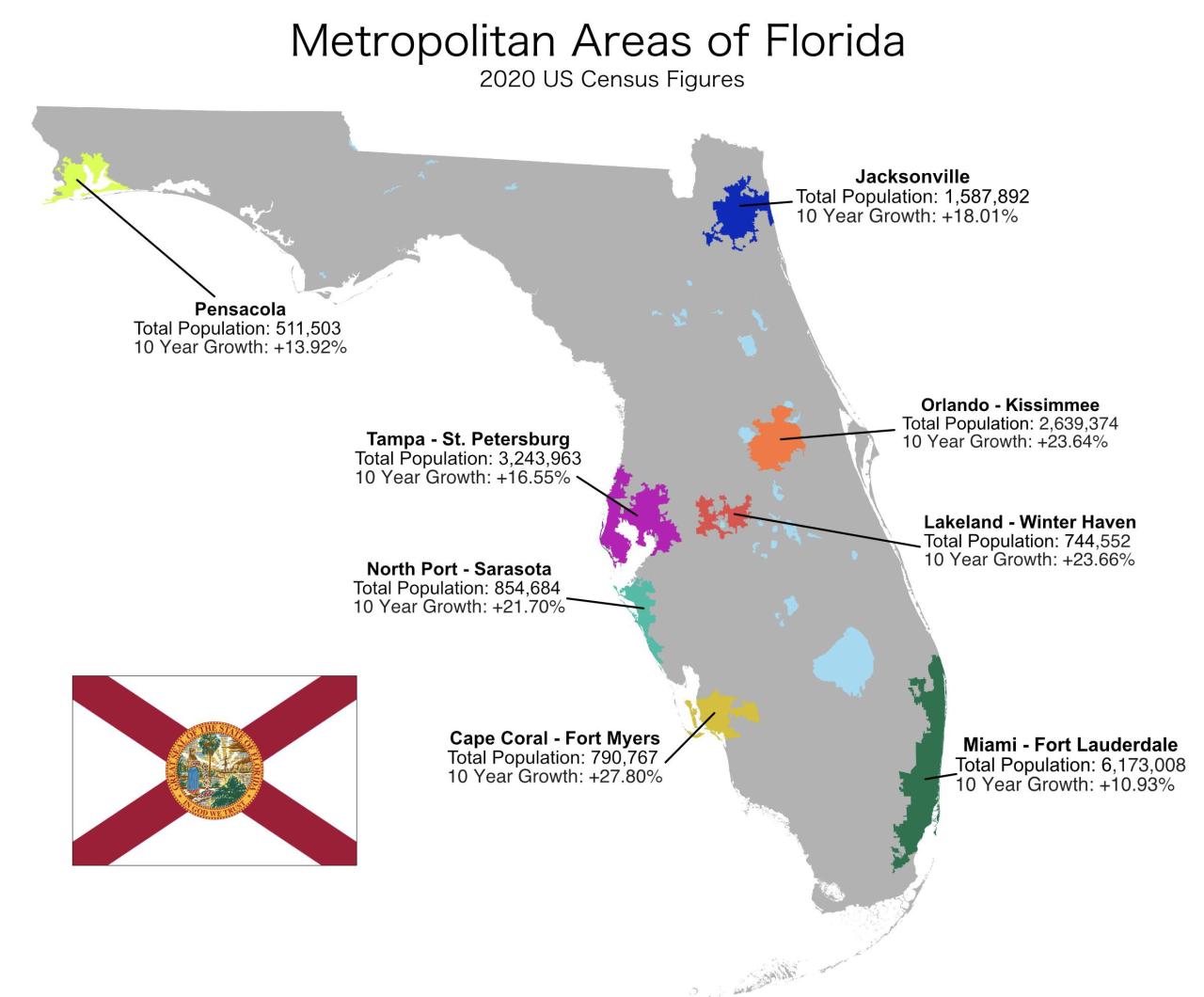
East (Gresham, Troutdale) – Florida

The streetcar suburbs made it out east around to Mt. Arleta at about 50th, stretching past in patches. When, post-WWII, the built-up hunger for new housing met the automotive Mass Middle Claas this working-class area (I’m pretty sure The Simpsons “Evergreen Terrace” was Northeast) stretched out past the border of the city at 82nd and kept going until by the 230s they banged into the outlying towns of Gresham and Troutdale where the foothills to Mt. Hood start making the Gorge part of the Columbia River Gorge obvious. The area was built out on an uninterrupted shopping center/minimall road grid with less attention to amenities like parks or sidewalks, but the city had to annex it in in the 70s after the feds required sewage system improvements they couldn’t afford.

Some of the most Cascadian suburbs (traditional Oregon culture isn’t farmers, it’s forest laborers). When the Oregon timber industry fell apart in the later 80s and the city emptied out it got cheap, methy and criminal now increasingly brown and immigrant.

South (Oregon City, Clackamas County) – The Sunbelt

In range to the farming-based Willamette Valley, and having the most “country”-as-defined-since-the-1980s culture. Clackamas is where the guys driving lifted pickups to their construction jobs live. Oregon City is the first capital of Oregon, along waterfalls that required portage but also offered rapids for water power, and apparently a major center of white power for a few decades. Expanding in recent years, development tends to be commuter stuff built around freeway exits with first shopping centers with big box stores and restaurant chains, and “drive til you buy” housing developments beyond.

North (Vancouver, State of Washington) – The Northern Plains

You have to take a tedious route to get there and then they do stretch on, though you’ve never heard of anyone from there. Navigated by freeways for any distance though within a locality the existing farm roads do fine as arterials between some mix of cul-de-sac developments and old-fashioned “someone subdivides a plot into street lots”. Vancouver is a town, cause they did that once. Substantially puffed out by the kind of business park guy who would move anywhere if it gave him a few percent edge on a spreadsheet (WA has lower income tax and makes up for it with a sales tax Oregon lacks).

Tagged: portlandportlandportland geography cascadia

This is basically a map of where you can live in America and be the only person in sight

This is basically a map of where you can live in America and be the only person in sight

Tagged: geography

>tfw you choose a projection not suited to the purposes of your map

>tfw you choose a projection not suited to the purposes of your map

Tagged: geography

Remember when I said the West Coast has two of the best harbors in the world in San Diego and the SF Bay and fuck all else? (LA...

kontextmaschine:

poipoipoi-2016:

kontextmaschine:

Remember when I said the West Coast has two of the best harbors in the world in San Diego and the SF Bay and fuck all else? (LA is an artificial breakwater)

Yeah.

Seattle too.

True.

I guess I think of Puget Sound more as an anchorage.

Tagged: geography puget sound

Remember when I said the West Coast has two of the best harbors in the world in San Diego and the SF Bay and fuck all else? (LA...

Remember when I said the West Coast has two of the best harbors in the world in San Diego and the SF Bay and fuck all else? (LA is an artificial breakwater)

Yeah.

Tagged: geography san diego

The locations of Gotham City and Metropolis in the world of DC comics.

kontextmaschine:

mapsontheweb:

The locations of Gotham City and Metropolis in the world of DC comics.

So is Bludhaven just like, the gritty outer boroughs of Metropolis?

Also like, Philadelphia still commands the rapid narrows bottleneck to the Delaware Water Gap in that map, and both of those cities are built on wetlands, which is what you would expect at the mouth of a river delta.

Tagged: geography

The locations of Gotham City and Metropolis in the world of DC comics.

mapsontheweb:

The locations of Gotham City and Metropolis in the world of DC comics.

So is Bludhaven just like, the gritty outer boroughs of Metropolis?

Tagged: geography

The locations of Gotham City and Metropolis in the world of DC comics.

mapsontheweb:

The locations of Gotham City and Metropolis in the world of DC comics.

Tagged: geography

Population growth in Florida’s cities, 2010 - 2020.

mapsontheweb:

Population growth in Florida’s cities, 2010 - 2020.

Tagged: geography 'merica

 Åland Islands, between Sweden and Finland by @lecartographe

mapsontheweb:

 Åland Islands, between Sweden and Finland

by @lecartographe

Oh I didn’t realize Stockholm abutted an internal waterway like that

Tagged: geography

Rivers with the same names as US states.

mapsontheweb:

Rivers with the same names as US states.

Tagged: geography

This is a question that really should have occurred to me before - how *did* all the late 60′s-70′s hippies physically get to...

centrally-unplanned:

This is a question that really should have occurred to me before - how *did* all the late 60′s-70′s hippies physically get to India in the numbers culture has told me they did? Flights were of course an option, but only for a few - the prices pre-1980′s were ruinously expensive, and hippies may have been from more elite backgrounds but they were still a ton of broke college kids all the same. And its not like you would take a boat through the Suez or around the horn as a passenger, and no train lines existed for most of that journey. So what gives?

Well you drove of course!

I somehow never learned about the Hippie Trail, but it was a big thing apparently, a gap in knowledge for me. But I see why I forgot it - its an artifact lost to political revolution. British college students renting a bus and riding through…Iran…and Afghanistan….that stopped being an option by 1980. But under the Shah and Khan these were western-looking states open for business. And until the late 1970′s the price of gas was pretty much irrelevant, neither costs nor borders was a barrier. Chalk up another cultural artifact undergirded by - and undone by - global political and economic realities.

(also note the critical fact of Yugoslavia being communist-but-third-way-unaligned to open up that path)

Tagged: geography