One giant map featuring every road in America: This map, featuring every road in the United States of America, assembled by...
One giant map featuring every road in America:
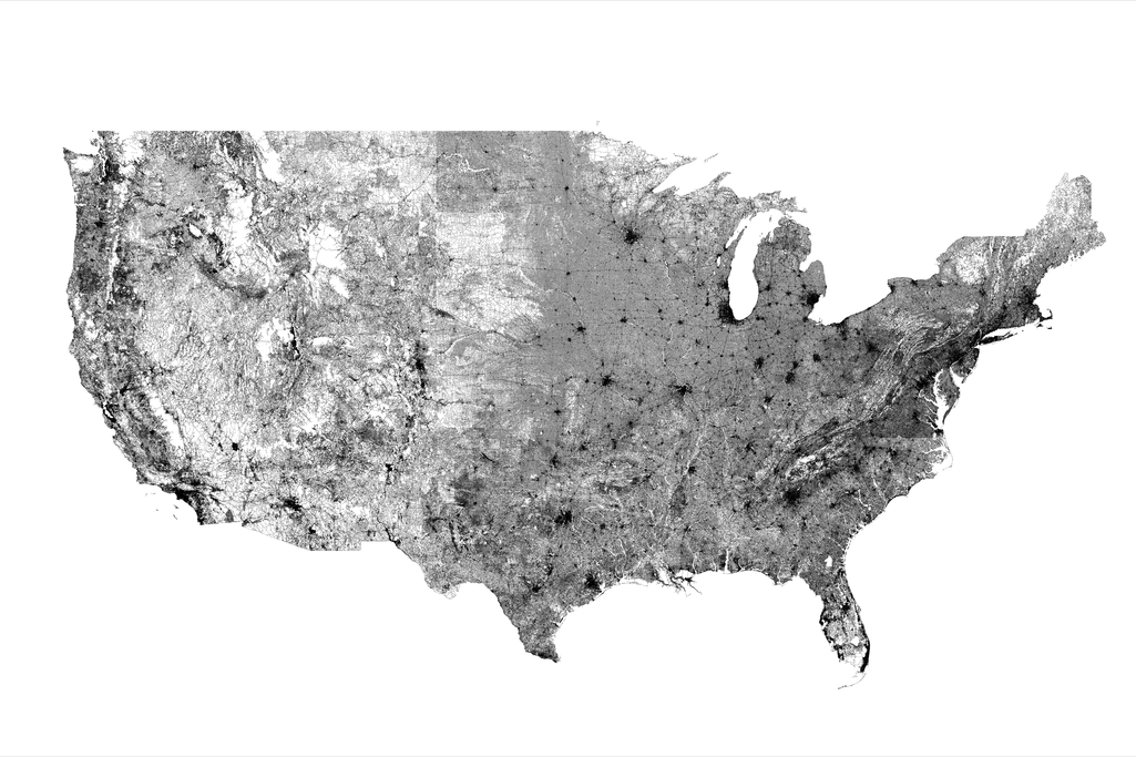
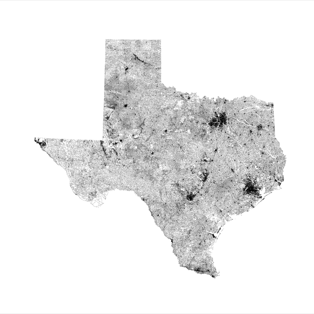
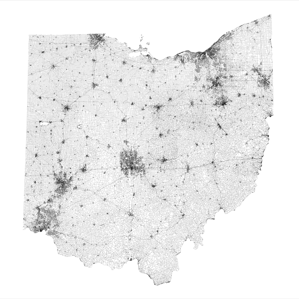
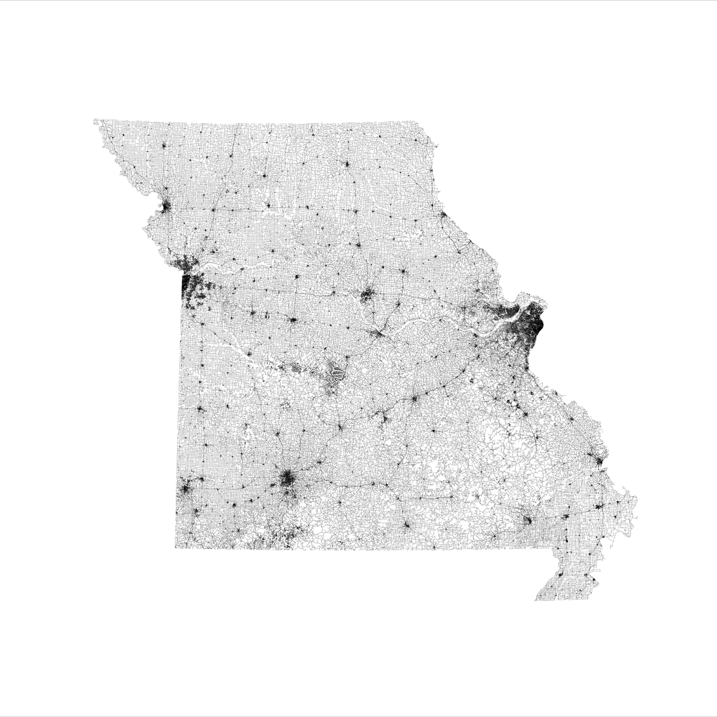
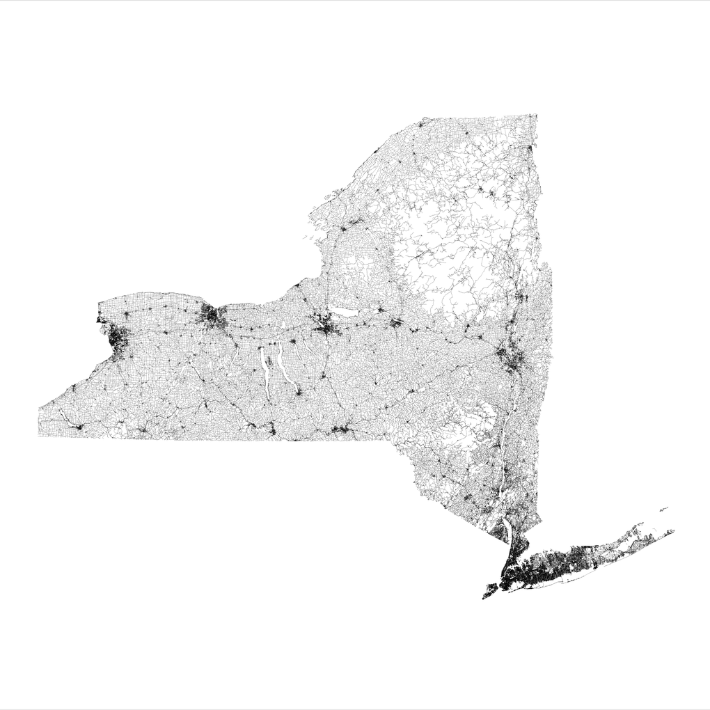
This map, featuring every road in the United States of America, assembled by Reddit user WestCoastBestCoast94, looks like a cartographer’s dream come true. It doesn’t take an expert to glean information from the map, like the location of major cities — dark, tight webs — and mountains — long, thin stretches of white.
there’s no map that the etc etc etc etc, but the bit around it going down into georgia usually doesn’t
Home.
Home was BAMA, the Sprawl, the Boston-Atlanta Metropolitan Axis.
Program a map to display frequency of data exchange, every thousand megabytes a single pixel on a very large screen. Manhattan and Atlanta burn solid white. Then they start to pulse, the rate of traffic threatening to overload your simulation. Your map is about to go nova. Cool it down. Up your scale. Each pixel a million megabytes. At a hundred million megabytes per second, you begin to make out certain blocks in midtown Manhattan, outlines of hundred-year-old industrial parks ringing the old core of Atlanta…
William Gibson, Neuromancer